
December 2019
Maps Workshop
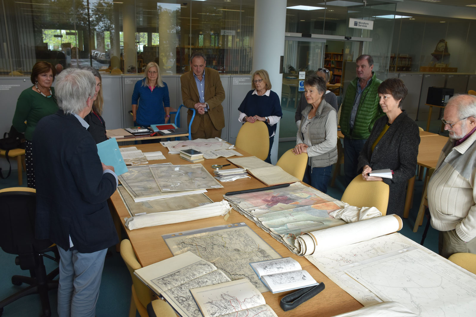
During October members of the Bremhill History Group gathered at the History Centre in Chippenham for a maps workshop.
Since c.1880 large-scale Ordnance Survey maps have been an easily accessible and reliable record of topographical change. The most useful for rural areas are those published at 6-inch and 25-inch to the mile scales. Published in the 1880s, these are known as county series maps until the 1940s. Post WW2 maps at these scales use national grid squares.
Much OS mapping is available online, through the National Library of Scotland Georeferencing site, which also shows satellite imaging, (maps.nls.uk/geo/explore/) and Know Your Place West, enabling comparison between different editions (www.kypwest.org.uk/). Some are also available on British History Online (www.british-history.ac.uk/os-1-to-10560/wiltshire).
Other information was added by colouring some OS maps, including solid and drift geology, land use classification and land utilisation. Inland Revenue valuations were prepared in 1909-10 based on OS maps, with accompanying schedules, and these enable one to discover the ownership, occupancy and nature of all parcels of land. Sale catalogues produced after c.1880 generally use OS mapping and parcel numbers, and often give details of field names and (sometimes) tenants. Before c.1880 printed maps exist, but in rural areas generally to a smaller scale. The OS produced 1-inch to the mile maps (in southern England) during the period 1800-30.
A variety of manuscript maps survives, mostly from the 18th century and later. There are four main categories. Tithe maps, and the apportionments that accompany them, were drawn up in the 1840s to convert tithe collection in kind to money payments. They are to a large-scale and number each land parcel subject to tithe. The apportionment gives details of owner, occupier, field name, land use and acreage. Much of Bremhill was enclosed by Parliamentary act in 1775-7 and maps exist with the award. When a public undertaking was proposed, such as a canal, turnpike road or railway, the proprietors were required to deposit plans and schedules to the local authority. Many of these survive, even if the project did not proceed, and so there is a set of plans and schedules of an aborted railway line across Bremhill.
The fourth and most diverse category of manuscript maps are estate maps, produced for a variety of administrative, legal and prestige reasons. These can date from as early as the 16th century, but are more often of the 18th - 19th centuries. They may be meticulously drawn, showing buildings, hedgerows, gates, etc, and usually give parcel numbers, distinguish land use, and name neighbouring owners. Sometimes they include a schedule of field names and acreages in a corner of the map, or there may be a separate survey in book form, to which the numbers correspond. We looked at a small survey book of Cadenham and other manors, and a much larger survey of the Baynton tenants and their landholdings in Bremhill, dated 1612.
Maps Workshop